I chose to explore the reVilna mapping project. The project uses digital mapping to digitize and narrate what the Jewish Ghetto in Vilnius, Lithuania was like. It narrates the history of the Ghetto from before, during, and after German occupation of Vilnius.
reVilna reflects the point of view of the Jewish community in the Ghetto who fell victim to the Holocaust. The project aims to have its user understand how the residents lived in the Ghetto and how the Ghetto functioned. The creators of the project geographically tagged over two hundred points of significance sourced from memoirs, archives, original Ghetto documents and artifacts, and oral and historical account. The users can manipulate the map’s filters to events and places of interest or explore built-in stories.
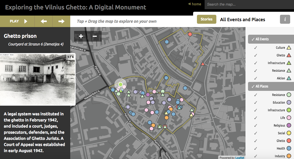
While moving through the maps, you can get a detailed perspective on the lives of the Jewish community. You can use the filters of the map to follow stories of resistance, culture, health, education, Judenrat and formation and liquidation of the Ghetto. When going through the stories, photos are sometimes included to show what certain places actually looked like.
The maps reveal the implications that the Holocaust had on the community as a whole. I think where the project lacks is in personal first-hand accounts of what life was like for individuals in the community. It also does not give any background knowledge on the surrounding area of Lithuania and what it was like to live there as opposed to in the Ghetto. I also think an interesting feature that the creators could have added would be to enable the user to toggle between present day Vilnius and the Holocaust era Vilnius to create a comparison between the two. This would show how Vilnius and the Ghetto have changed throughout time.