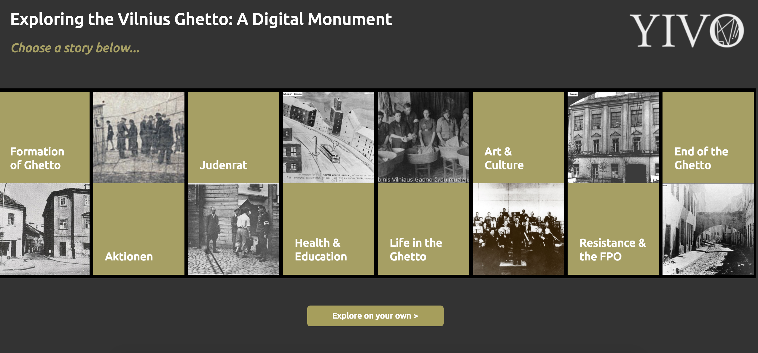
reVilna is a digital mapping project of the Vilnius Ghetto – a WWII Jewish ghetto in Vilnius, Lituhania that was operated by Nazi Germany. The Kickstarter-funded project was created independently by Menachem Kaiser, a researcher/writer studying post-Holocaust narratives in Eastern Europe at Columbia University, with the help of YIVO, a Jewish research institute. According to Kaiser’s Kickstarter page (it’s a shame that I couldn’t find this information on the website itself), the project aims to reimagine the space of the Vilna Ghetto and allow users to digitally explore the ghetto through various mediums – text, original documents, images and a map.
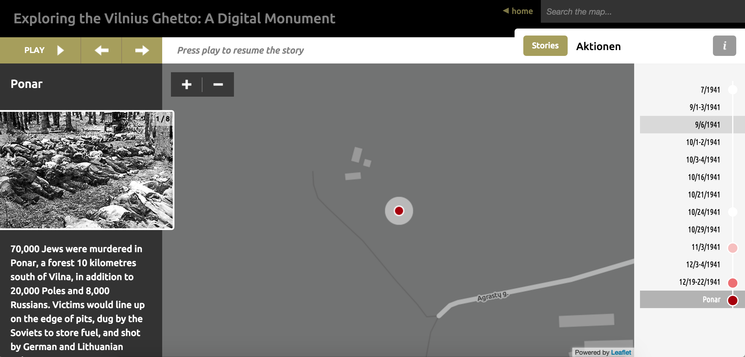
The map reflects the point of view of the ghetto’s Jewish community. The points on the map, which are paired with historical photographs, indicate significant events that shaped the lives of the Jewish residents in Vilna. The narrative starts with the formation of the ghetto, detailing the segregation of Jews that was put in place by the German authorities, and goes on to explore the decimation of the ghetto population and the lives of the residents henceforth. The website also features photos of Jewish residents being tortured by German soldiers, as well as original documents like German military reports supporting the brutal treatment of Jews by German authorities. As a whole, the map reflects the assumption – or more like a self-evident truth, based on the historical documents provided – that the Jewish population was brutally killed and inhumanely treated by German authorities during WWII.
The map reveals that despite the tragedies and atrocities the residents of Vilna faced, they were able to carry through and create a distinct culture of their own. They had a vibrant art scene, which flourished in the neighborhood theaters, and circulation of information about health and safety was fluid between community members and health institutions like the hospital, pharmacy and school. What’s less apparent in the map is the context of the events, meaning, how did the political events impact surrounding areas within the community? I think it would have been easier to imagine the influence of the liquidation, for instance, if public facilities and venues were also shown on the map. Unfortunately, they’re only viewable from maps that explore life within the ghetto, art and culture and health and education.
If I were to recreate the map, I would have made the divide between politics and social life less blurred because one has the tendency to spill into the other. This would give users a more holistic, complex view of the experience Vilna residents went through during WWII.