…this notion of maps as non-perspectival representations will not do. it is not just that maps do have a perspective, or that the perspective is taken for granted, it is rather that the disengagement hides the privileging of a particular conceptual scheme. Maps, in this sense, are pictures. They are pictures with different and additional functions and purposes to those of perspectival representation. Pictures may sometimes, be entirely subjective, but maps, to be capable of transmitting information, have to be intersubjective.
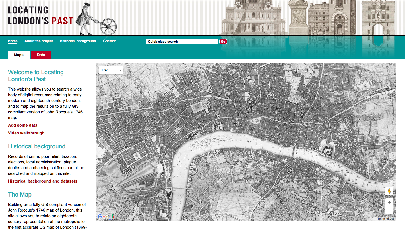
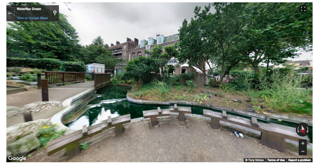
According to David Turnbull, effective maps are perspectival and subjective by nature. In the Locating London’s Past DH mapping project, the website allows users to search a wide range of digital resources relating to early modern and eighteenth-century London. They can also map the results on to a fully GIS compliant version of John Rocque’s 1746 map. Records of the city’s crime, poverty relief, elections, taxation, plague, deaths, local administration, and archaeological finds can all be searched and mapped through this website. The maps are adapted to the Google Maps interface. I really enjoy this interactive feature because users can drag and drop the little yellow person anywhere on the map for a modern street view.
However, this map assumes that its users know extensive historical background information about London. As someone who is not very familiar with London’s past, I feel a bit overwhelmed and confused looking at this map because I am not sure where to begin or where important landmarks are located. The website provides additional resources for reading about London’s history, which is helpful but limited, as I would need to read all about London first and then go back to a confusing map.
Alternatively, I would love to see a map that integrates more information with the map. That way, users who are not familiar with London’s past could learn and interact with the map all in one place, without having to go back and forth between the textual resources and the maps. For example, if I were to hover over a specific area, or drag and drop the yellow icon for a street view, the map would provide a “then” and “now” box of information to better relate London’s past to London today. Additionally, John Rocque’s 1746 map and the 1869-80 maps could highlight the historically significant locations around London in color with a legend. It is hard to know where and what I am looking at on the older maps because it is all black-and-white, including the small text labels.
While the Locating London’s Past project reveals a massive amount of interactive information, it obscures the historical highlights of London’s past by having them blend in with everything else on mundane maps.
I think the idea of “historical highlights”, and the issue of having them lost in less significant events, raises the question of how we assign value to historical events and the visual cues we use identify data that is more/less important than others.
I did the same topic but you have so much more detail and the pictures help to make it stand out! I agree with you that seeing the different maps be integrated with the datasets would be really nice because then we wouldn’t have to go back and forth. But also , I feel like its too much information to integrate and so would clutter the map too much, but if the interface was done well, it would be a wonderful addition!
Photos are great! I like the way pictures are utilized in this blogpost because they definitely make me want to continue reading. You did a really good job summarizing what the mapping project is about by giving an overview of what data is available and the interactive features of the mapping project. You suggestion to improve the mapping project is also very illuminating!
Hi!
The first thing that stood out to me about your blog was the usage of pictures to help describe what you were trying to say. I felt that you did a great job with executing your analysis. I’ll definitely be looking through this mapping project afterwards. Thanks for your post!