Well first off, Alan McConchie and Beth Schechter, “Anatomy of a Web Map” might be the coolest article I have ever read on the internet. Its mind blowing, plus I loved the interface they used (Big)! I thought that the way their presentation moved was super informative and loved getting to explore all of the tools they listed. In the article, they brake down the exact definition of a web map and present ways for individuals to make their own (often through open source applications). They distinguish that a “web map” is a type of “digital map” which is available on the internet. The key tipping paint here would be that the map is on the internet. Because of this, web maps are able to go in a whole other direction that was previsouly impossible for maps: they are now available to be created by anyone and data for these maps seems to be more readily available. In Jim Detwiler’s article, “Introduction to Web Mapping” he gives a brief history of web maps, reminding us that web maps didn’t begin to exist until the mid- 1990s. It wasn’t till even later that these applications began to become wildly available for individual adaptation. He connects this revelation with the launch of Google Maps in 2005:
“Shortly after the launch of Google Maps, hackers figured out ways to build applications that integrated the map layers from Google with other forms of data. The most famous of these was housingmaps.com, which took real estate data “scraped” from craigslist.org and plotted it on top of Google Maps. Google, seeing the potential in allowing third-party developers to mix in their own content, decided to make the Application Programming Interface (API) for their Maps application public. Yahoo! and MapQuest followed suit. The result was an explosion of custom mapping applications and the addition of a new term to the web mapping lexicon — mashup. (The term mashup traces its roots to the music industry, where it is used to describe the mixing of tracks from two or more songs to produce a new song.) Thus, the 3rd generation of web mapping can be thought of as the “mashup generation.”
I love the idea of thinking of current web maps as a mashup generation! I think that this term also clarifies what is meant by opens source, it is not necessarily referring to “coding from the ground up,” but rather taking from others, building and merging. From my experience (one day) playing around with Map Stack and OpenStreetMap, it seems that a lot of these interfaces are designed to be easily picked up. This is not to say that web mapping is not highly technical (it definitely is), but that this “mashup generation” has provided a way for individuals to get in easily at an at least basic level. This is allowing for web mapping to become more widespread and more understood.
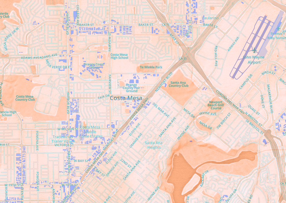
While reading these article, I got stuck on the purpose behind being able to create your own open source map. I played around with Map Stack which encouraged me to make a map of my hometown (so I did). In the process of making it, I got stuck on the idea that Open Source mapping applications exist, perhaps, so that people can create their own representations of their environment. Its a way to personalize the growing urban sprawl of “modern life.” It also made me think about this as tradition in human history. Throughout Art History at least, the representation of the urban form, often shown through a handful of physical landmarks, is omnipresent. One can easily find a physical landmark, distinguishing the site, in almost any Renaissance, Medieval, or early Modern (western) painting. It is the tradition of connecting the individual with the city of origin, city as integral part of identity in an increasingly inter-connected world. A more specific art analogy would be Edward Ruscha’s Every Building on the Sunset Strip from 1966. (The link will take you to a Getty exhibition article about Ed Ruscha) In the series, Ruscha took a picture of each building on the Sunset Strip, stringing them together so that an individual could follow the whole street from start to end. In the context of web mapping, I can’t stop thinking of Ruscha’s piece as a proto Google Street View. It perhaps also confirms the long standing human interest in the personalized representation of temporal environment.

I am curious to hear about others interpretations of the “humanistic” value in web and digital mapping! I would love to learn more about digital humanities specific web mapping projects (How do maps illuminate humanistic inquiry? Why do humans make maps? Are web maps becoming more than just maps, as a result of their interactive features? Is the way that web maps make arguments different than regular maps?)