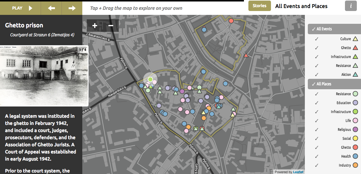
ReVilna is a digital humanities project that maps out the location and narrates the events of the Jewish ghetto located in the Lithuanian city of Vilnius during World War II. The map, which is split up into multiple “stories”, includes about two hundred individual points that are geographically tagged on a city map. Each point can be selected and represents a location of historical significance. Because the ghetto was eventually liquidated and very few residents survived, we have a limited amount of information remaining about what life was like in the ghetto during this time period. However, the narratives for each story quote extensively from different records that survived this time period, such as speeches, meeting records and official statements.
Since the dots for each story are separate from the other stories, spatial information about the relationships between these dots is more difficult to find when the user doesn’t click on “explore on your own”. For example, the most important centers for activity within the ghettos are obscured because the map is split into separate “stories” and not gathered into a single map. This makes it difficult to see where the greatest concentration of dots would be located when a user is isolating a single narrative story. If a user were to focus on a single story instead of the whole, they would receive a very different perspective on what life in the ghetto was like: reading only the “Art and Culture” story would paint a much more peaceful picture than “Resistance and the FPO,” which is much grimmer and more violent.
The Vilnius map is definitely selective, as Turnbull asserts that all maps are. As the location of the Vilnius ghetto was a specific spot within the city of Vilnius, the map mainly focuses on a very small part of the city as a whole. Because the limits of the ghetto were clearly delineated this isn’t exactly an arbitrary decision on the part of the mapmakers, but it does eliminate some parts of the narrative that may have occurred outside of the ghetto and still influenced the lives of the people living within.
By combining a map with a narrative, the Vilnius map represents the perspective of some demographics more than others, and is, as Turnbull puts it, indexical. This map definitely represents the point of view of a Jewish person residing within the Vilnius ghetto, as most of its narrative concerns the day-to-day life of a ghetto resident. However, there were separate factions within this group of people, such as the Resistance and FPO which frequently came into conflict with the Judenrat, who were community leaders that tried to keep the peace between the ghetto residents and the Germans. The narrative of this map focuses much more on the actions and viewpoints of the Resistance members than it does on the Judenrat, and as such gives us a much greater understanding of the life of an FPO member than the life of a Judenrat member, or a ghetto resident who wasn’t associated with either group. An alternative map might focus more on the doings of a Judenrat member, or might perhaps trace the life events of individual people who resided in the ghetto, and whose actions we have more information about.
I, too, looked at the ReVilna site, and I appreciate your comment about the emphasized narrative of the Resistance. I automatically took that information in as “more important” since it was spoken about more, and I didn’t even catch that I was buying into the biased/misrepresented perspective of the site. I also agree with your commentary on the spatial coverage of the map itself, since I, too, noticed the clear boundaries of the ghetto. It seems to denote that the ghetto was separate and unaffected by the spaces around it, which I’m sure wasn’t the case (is it ever?). It would have been interesting to see some data presented about the surrounding locations.